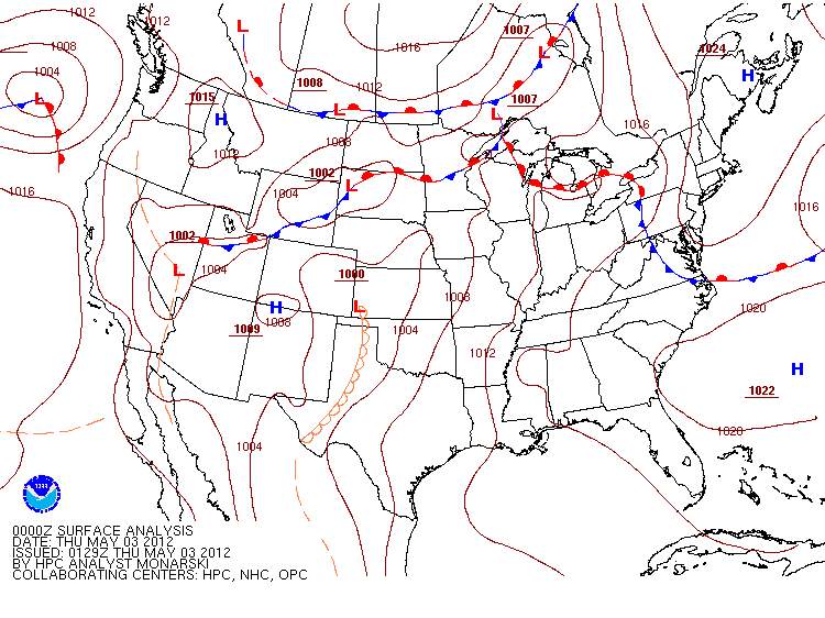
On the evening of May 2nd, 2012 a stalled out frontal boundary was draped across central MN and into northwestern WI. Places south of this boundary saw temps climb well into the 70's and low 80's, with dewpoints into the low 60's. This boundary, combined with a second boundary lifting from the south served as the focus point for severe storm development across southern and southeastern MN (and with time, far west central MN)
The first storms fired Wednesday evening in south central Minnesota, and gradually made their way off to the east/northeast. Eventually the storms crossed into Wisconsin, hitting Buffalo County first. At 9:33pm, the NWS in La Crosse issued a tornado warning for strong rotation indicated by radar north of the city of Alma, near Highway's 35 and 37. No confirmed tornado, however, was ever reported.

As the storm continued its trek off to the east it left hail and wind damage in its wake. There were several reports of trees down and windows broken by hail in scattered areas of the county. By 10:00pm, the cell was approaching the northern portions of the city of Arcadia. While the strongest part of the cell avoided the downtown part of the city, its effects were still felt...mostly on the far northern edge of town in a mobile home park. Many of the homes had broken windows, and the skirting around some of the homes had significant hail damage to them. Below is a picture of the left over hail, a good hour and a half after it fell.
This is a radar image as the storm passed by to the north of town, with the "X" being where the mobile home park was, and where the picture was taken. As you can see, downtown Arcadia dodged a bullet with this one.
The storm continued making its way east, with the town of Blair next on its path. Shortly before 10:30pm, the city of Blair was feeling the effects of this cell. Strong straight line winds and large hail pounded down on the city, causing significant tree, power line and structure damage to a large part of the town. Below are radar and storm velocity images. The cell had slightly weakened as it moved from Arcadia to Blair, but intensified again briefly as it reached the western part of town.


The cell did weaken a bit once again as it passed overhead, and it is possible that this weakening phase created the microbursts that caused the wind damage. Something else to note is this area had heavy rain the night before these storms, and it is also possible the soft soil made it much easier for the trees to come down. Luckily there were no significant injuries reported with these storms, which is always a good thing. Below are several images of the damage through the Blair community, as well as an overview of storm reports.
 |
| This was a common site through town |
 |
| The siding of a home had extensive hail damage. A lot of homes had a very similar look to them in town |
 |
| A part of the roof of the Blair-Taylor High School was torn off, forcing the school to close for a couple days |
 |
| More roof damage from the school |
 |
| Part of a barn collapsed in due to the strong winds |
 |
| More tall trees down, all laying in the same direction...a common site in straight line winds |


No comments:
Post a Comment